Pages tagged:
Drones
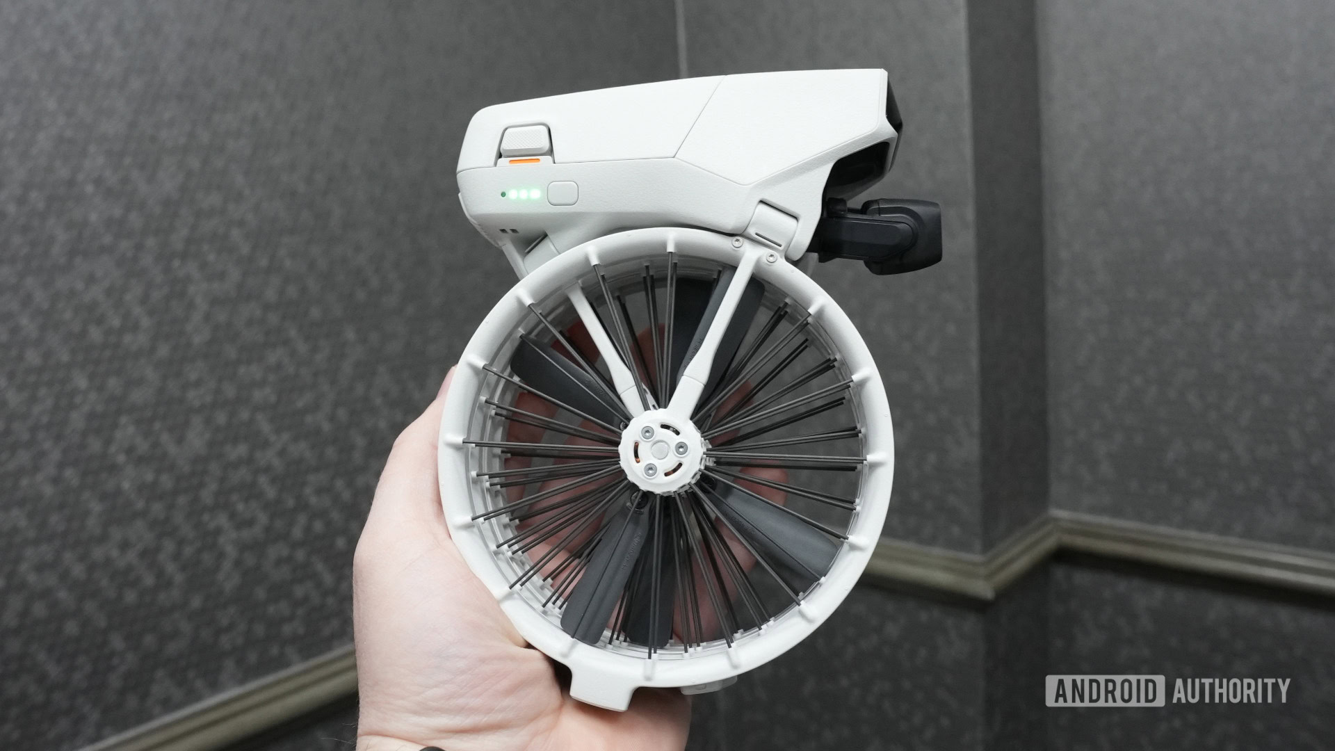
DJI's latest drone is nearly unrecognizable when folded up
Hardcore PC cooling solution? Self-balancing unicycle? Nope, that's just the new DJI Flip.
Stephen SchenckJanuary 14, 2025
0
C. Scott BrownSeptember 5, 2024
0
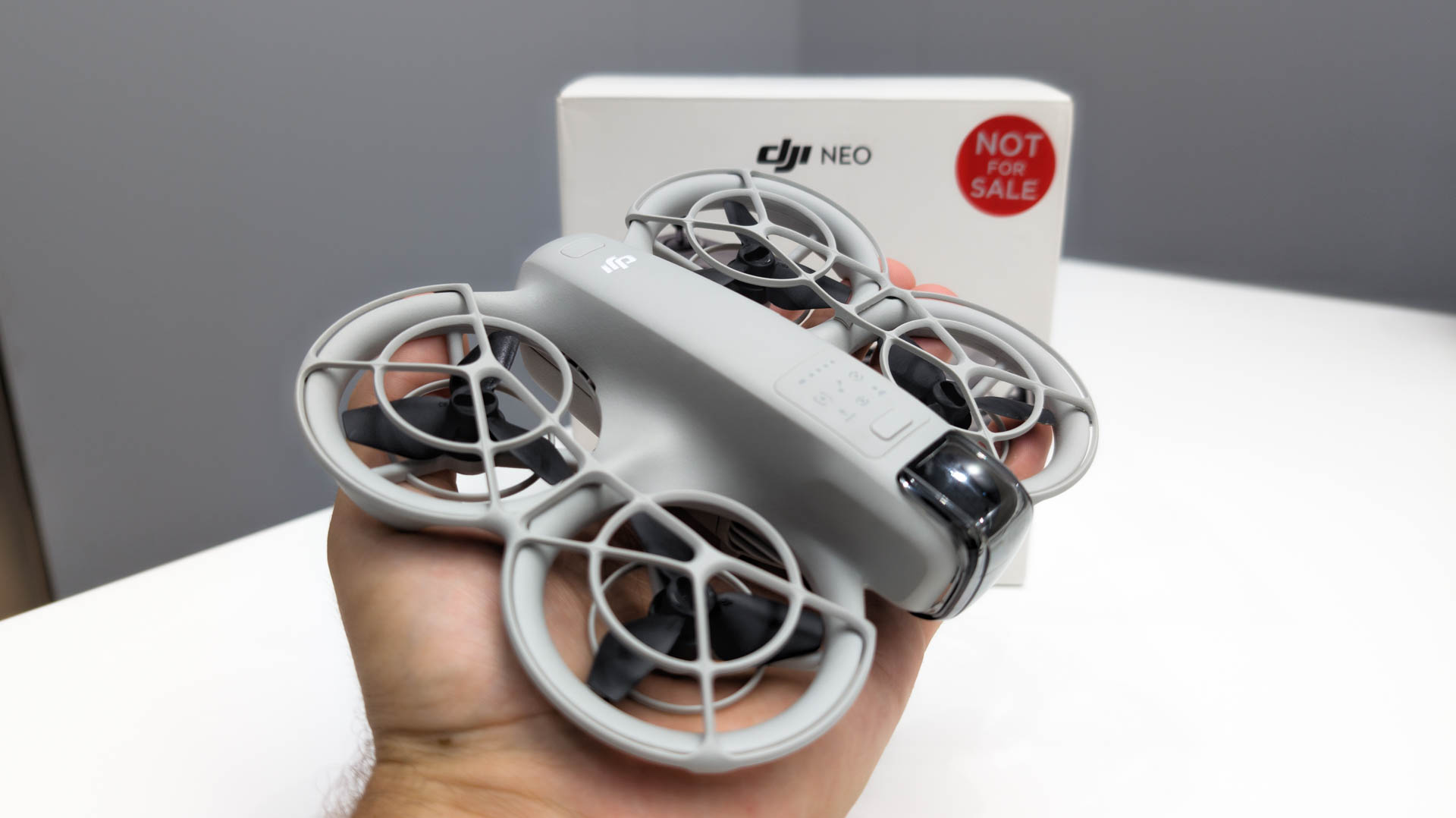
DJI Neo is the lightest, easiest to use drone ever from the company
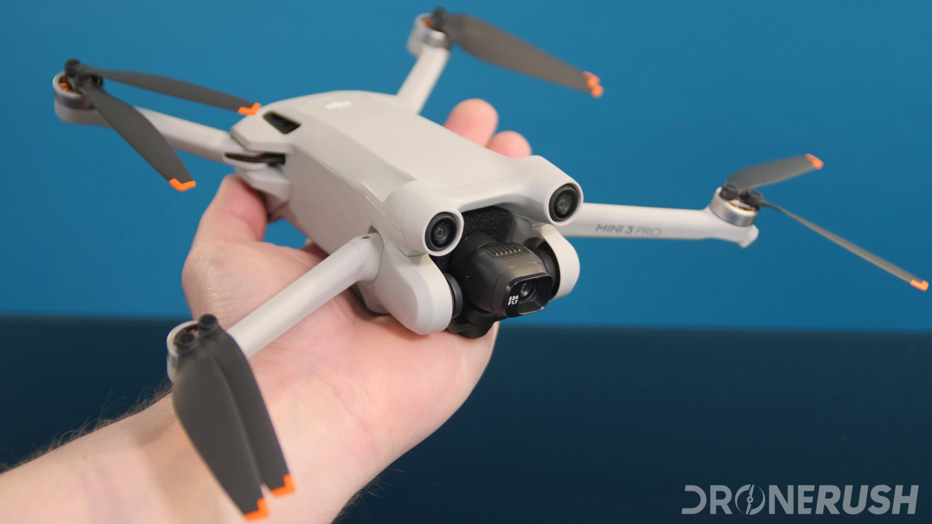
The DJI Mini 3 drops hard to record-low price of $329
Matt HorneJune 14, 2024
0
The best drone apps for Android — enhance your flight
Jonathan FeistMarch 22, 2024
0

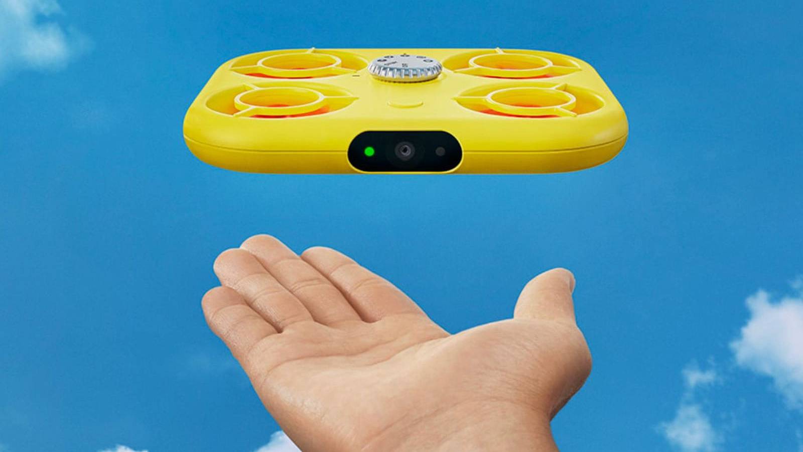
Snap gave up on its selfie drone so fast it'll make your head spin
Ryan McNealAugust 18, 2022
0
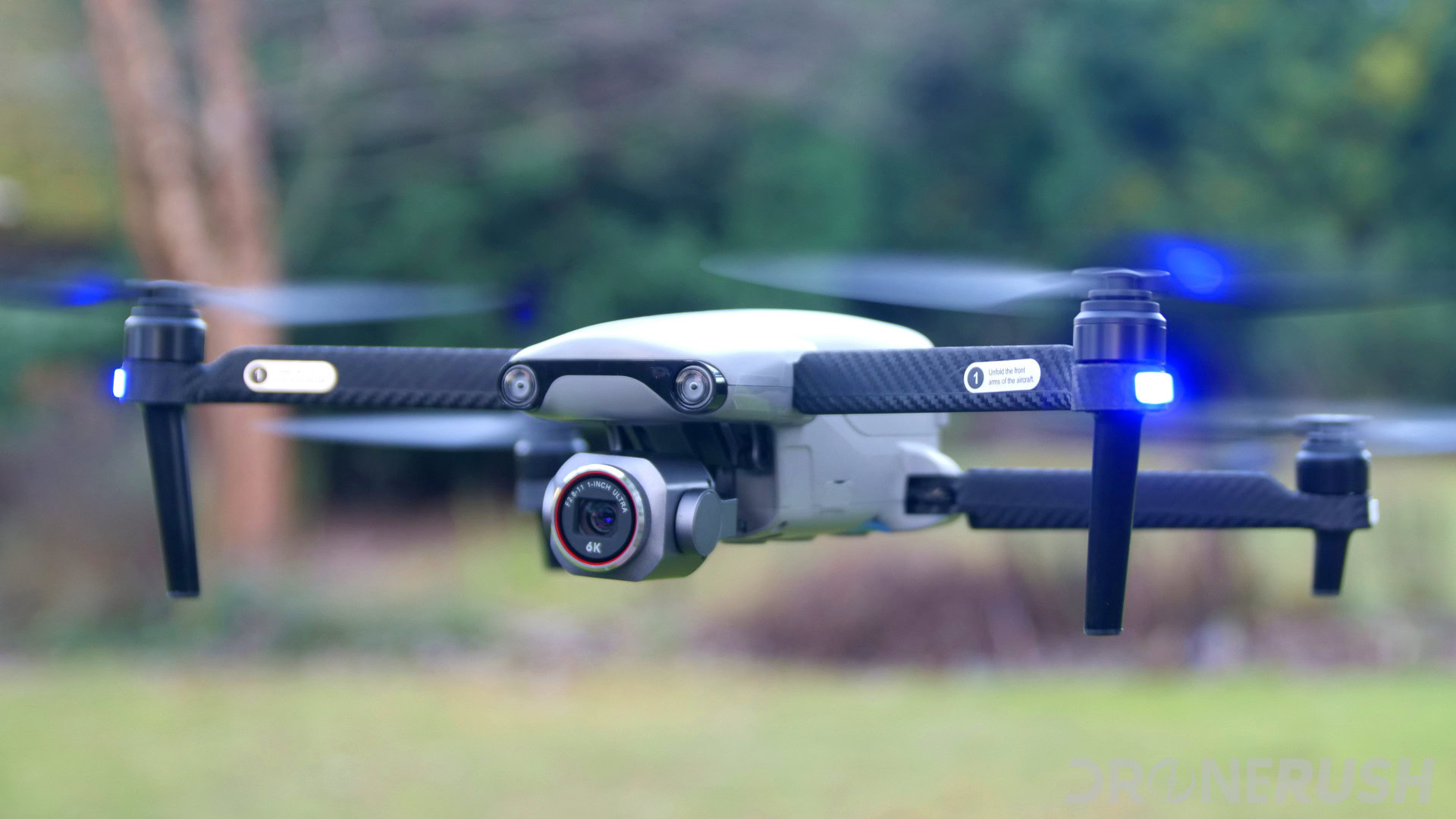
Autel Robotics Evo Lite Plus review: 6K camera drone
Jonathan FeistJanuary 31, 2022
0
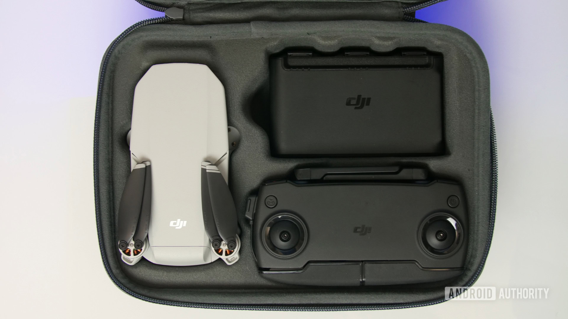
DJI Mavic Mini review: Ready to fly
Jonathan FeistDecember 15, 2021
0
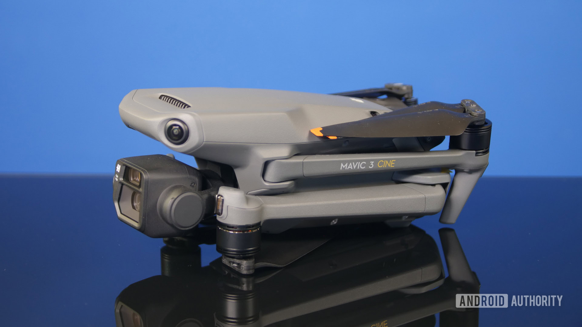
DJI Mavic 3 announced: Everything you need to know
Jonathan FeistNovember 4, 2021
0
vivo patent suggests flying selfie cameras could be the future
Andy WalkerJuly 2, 2021
0
Effective immediately: You need a drone license before you fly in the US
Jonathan FeistJune 23, 2021
0
